Geolocate

Salitre topographic map

Click on the map to display elevation.

About this map

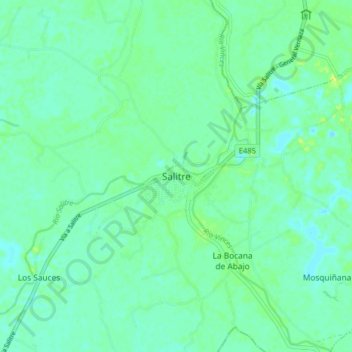
Name: Salitre topographic map, elevation, terrain.

Location: Salitre, El Salitre, Salitre, Guayas, Ecuador (-1.86937 -79.85742 -1.78937 -79.77742)

Average elevation: 6 m

Minimum elevation: -1 m

Maximum elevation: 17 m

Gear up for your next adventure:

🌬️Windproof Camp Stove - Efficient cooking even on exposed mountain peaks
🪑Insulated Seat Pad - Protect your seat from cold rocks and wet logs
🔋Solar Power Bank - Keep your GPS and devices charged during long outdoor trips
🦯Trekking Poles - Reduced impact on joints for steep topographic climbs
🎒Hiking Daypack - Lightweight and durable backpacks for day trips and excursions

As an Amazon Associate, this site earns from qualifying purchases at no extra cost to you.