
Paipa topographic map
Click on the map to display elevation.
Paipa
Paipa is located 15 km west of Duitama and 48 kilometres (30 mi) to the northeast of Tunja, the capital of the department, in the Cordillera Oriental (Eastern Ranges) of the Colombian Andes. It is the main tourist center of the region, with a number of large hotels and hot springs. At an elevation of 2525 m, the climate is mild with an average of 14° Celsius.
About this map
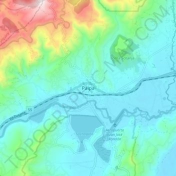
Name: Paipa topographic map, elevation, terrain.
Location: Paipa, Tundama, Boyacá, 150440, Colombia (5.74128 -73.15765 5.82128 -73.07765)
Average elevation: 2,641 m
Minimum elevation: 2,477 m
Maximum elevation: 3,263 m