
Thank you for supporting this site ❤️
Make a donation
Make a donation
Gear up for your next adventure:
As an Amazon Associate, this site earns from qualifying purchases at no extra cost to you.
Tiruvadanai topographic map
Click on the map to display elevation.
Thank you for supporting this site ❤️
Make a donation
Make a donation
Gear up for your next adventure:
As an Amazon Associate, this site earns from qualifying purchases at no extra cost to you.
About this map
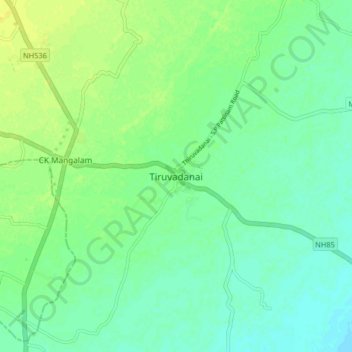
Name: Tiruvadanai topographic map, elevation, terrain.
Location: Tiruvadanai, Ramanathapuram District, Tamil Nadu, 623407, India (9.74398 78.87728 9.82398 78.95728)
Average elevation: 20 m
Minimum elevation: 12 m
Maximum elevation: 31 m
Thank you for supporting this site ❤️
Make a donation
Make a donation
Gear up for your next adventure:
As an Amazon Associate, this site earns from qualifying purchases at no extra cost to you.