
Chabodey topographic map
Interactive map
Click on the map to display elevation.
About this map
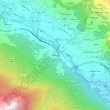
Name: Chabodey topographic map, elevation, terrain.
Location: Chabodey, La Salle, Vallée d'Aoste, 11015, Italie (45.72097 7.03989 45.76097 7.07989)
Average elevation: 1,218 m
Minimum elevation: 813 m
Maximum elevation: 2,323 m