
Tekax de Álvaro Obregón topographic map
Interactive map
Click on the map to display elevation.
About this map
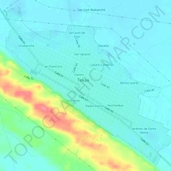
Name: Tekax de Álvaro Obregón topographic map, elevation, terrain.
Location: Tekax de Álvaro Obregón, Tekax, Yucatán, 97970, México (20.18212 -89.30940 20.22536 -89.26018)
Average elevation: 41 m
Minimum elevation: 22 m
Maximum elevation: 109 m