
Arolley topographic map
Interactive map
Click on the map to display elevation.
About this map
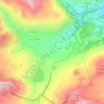
Name: Arolley topographic map, elevation, terrain.
Location: Arolley, La Thuile, Vallée d'Aoste, Italie (45.67722 6.86967 45.71722 6.90967)
Average elevation: 2,206 m
Minimum elevation: 1,683 m
Maximum elevation: 2,752 m