
Hebbettageri topographic map
Interactive map
Click on the map to display elevation.
About this map
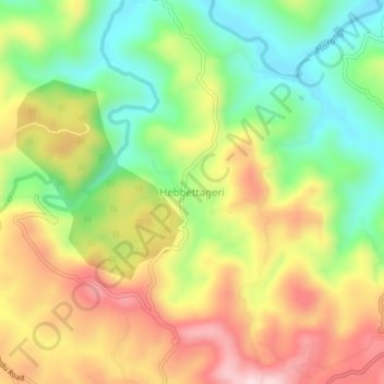
Name: Hebbettageri topographic map, elevation, terrain.
Location: Hebbettageri, Madikeri taluku, Kodagu, Karnataka, 571201, Inde (12.43905 75.71622 12.47905 75.75622)
Average elevation: 1,055 m
Minimum elevation: 893 m
Maximum elevation: 1,242 m