
Pelat topographic map
Interactive map
Click on the map to display elevation.
About this map
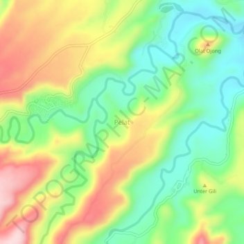
Name: Pelat topographic map, elevation, terrain.
Location: Pelat, Nusa Tenggara Barat, Indonésie (-8.56753 117.36993 -8.52753 117.40993)
Average elevation: 147 m
Minimum elevation: 29 m
Maximum elevation: 307 m