
Matehuala topographic map
Interactive map
Click on the map to display elevation.
About this map
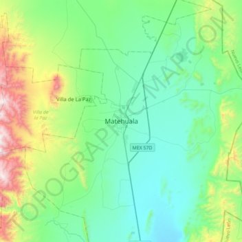
Name: Matehuala topographic map, elevation, terrain.
Location: Matehuala, San Luis Potosí, 78722, México (23.48649 -100.80354 23.80649 -100.48354)
Average elevation: 1,754 m
Minimum elevation: 1,429 m
Maximum elevation: 2,874 m