
郭家沟 topographic map
Interactive map
Click on the map to display elevation.
About this map
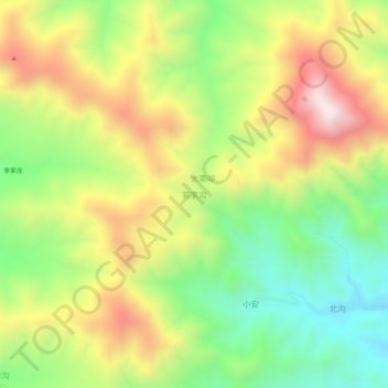
Name: 郭家沟 topographic map, elevation, terrain.
Location: 郭家沟, 葫芦岛市, 辽宁省, 中国 (40.44754 119.62806 40.48754 119.66806)
Average elevation: 755 m
Minimum elevation: 399 m
Maximum elevation: 1,196 m
Other topographic maps
Click on a map to view its topography, its elevation and its terrain.