Geolocate

Baker City topographic map

Click on the map to display elevation.

About this map

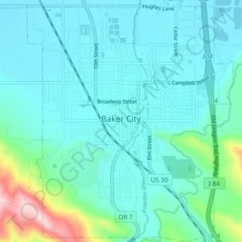
Name: Baker City topographic map, elevation, terrain.

Location: Baker City, Baker County, Oregon, 97814, United States (44.75151 -117.85939 44.79728 -117.80405)

Average elevation: 1,084 m

Minimum elevation: 1,032 m

Maximum elevation: 1,363 m

Gear up for your next adventure:

👟Trail Running Shoes - Agile footwear for fast-paced topographic exploration
🧰Emergency Multi-Tool - Compact multi-tool for outdoor survival
🚲Handlebar Phone Mount - View topographic-map.com live while cycling
🥾Waterproof Hiking Shoes - Durable shoes for wet and rugged trails
🛏️Sleeping Bag - Warm and compact sleeping bags for outdoor camping

As an Amazon Associate, this site earns from qualifying purchases at no extra cost to you.