
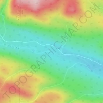
Rivière Malbaie topographic map
Interactive map
Click on the map to display elevation.
About this map
Name: Rivière Malbaie topographic map, elevation, terrain.
Average elevation: 159 m
Minimum elevation: 56 m
Maximum elevation: 319 m
Other topographic maps
Click on a map to view its topography, its elevation and its terrain.
Lac à Jack
Lac à Jack, Percé, Le Rocher-Percé, Gaspésie–Îles-de-la-Madeleine, Québec, G0C 1G0, Canada
Average elevation: 36 m