Geolocate

Sheoli topographic map

Click on the map to display elevation.

About this map

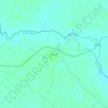
Name: Sheoli topographic map, elevation, terrain.

Location: Sheoli, Akbarpur, Kanpur Dehat, Uttar Pradesh, India (26.58176 80.02334 26.62176 80.06334)

Average elevation: 132 m

Minimum elevation: 129 m

Maximum elevation: 135 m

Gear up for your next adventure:

🧦Hiking Liner Socks - Thin base layer to prevent friction and blisters
🥾Hiking Boots - Sturdy boots providing ankle support and traction on rugged trails
🐕Hiking Dog Pack - Let your canine companion carry their own water and food
🧰Survival Kit - Essential gear for emergencies in the wilderness
🧰Multitool Knife - Compact and versatile tool for outdoor use

As an Amazon Associate, this site earns from qualifying purchases at no extra cost to you.