Geolocate

Pag-asa topographic map

Click on the map to display elevation.

About this map

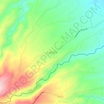
Name: Pag-asa topographic map, elevation, terrain.

Location: Pag-asa, Orani, Bataan, Central Luzon, 2112, Philippines (14.74909 120.43236 14.78909 120.47236)

Average elevation: 223 m

Minimum elevation: 101 m

Maximum elevation: 411 m

Gear up for your next adventure:

💧Collapsible Water Bottle - Space-saving water bottle for outdoor activities
🔋Solar Power Bank - Keep your GPS and devices charged during long outdoor trips
🛶Kayak Accessories - Essential gear for safe and fun kayaking adventures
🥾Approach Boots - Comfortable boots for hiking and climbing approaches
🧥Waterproof Hiking Jacket - Protect yourself from rain and wind while hiking

As an Amazon Associate, this site earns from qualifying purchases at no extra cost to you.