Geolocate

North Grove topographic map

Click on the map to display elevation.

About this map

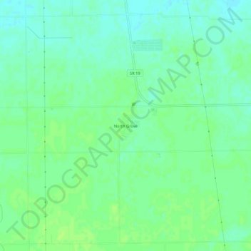
Name: North Grove topographic map, elevation, terrain.

Location: North Grove, Miami County, Indiana, 46911, United States (40.59226 -85.98610 40.63226 -85.94610)

Average elevation: 250 m

Minimum elevation: 244 m

Maximum elevation: 255 m

Gear up for your next adventure:

🧰Emergency Multi-Tool - Compact multi-tool for outdoor survival
🔦LED Headlamp - Hands-free lighting for early morning starts or late finishes
🥽Outdoor Goggles - Protective eyewear for outdoor activities
🕶️Polarized Sunglasses - Protect your eyes with durable polarized lenses
🔪Outdoor Multitool - Versatile tool for repairs and food prep in the wild

As an Amazon Associate, this site earns from qualifying purchases at no extra cost to you.