
Paso del Bote topographic map
Interactive map
Click on the map to display elevation.
About this map
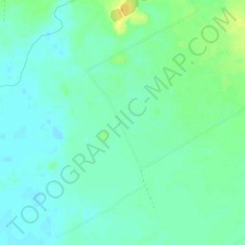
Name: Paso del Bote topographic map, elevation, terrain.
Location: Paso del Bote, Canelones, Uruguay (-34.63918 -56.45928 -34.61918 -56.43928)
Average elevation: 11 m
Minimum elevation: 1 m
Maximum elevation: 34 m
Other topographic maps
Click on a map to view its topography, its elevation and its terrain.
Fraccionamiento Camino del Andaluz y Ruta 84
Uruguay > Canelones > Fraccionamiento Camino del Andaluz y Ruta 84
Fraccionamiento Camino del Andaluz y Ruta 84, Canelones, 15700, Uruguay
Average elevation: 41 m