
les Garrigues topographic map
Interactive map
Click on the map to display elevation.
About this map
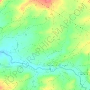
Name: les Garrigues topographic map, elevation, terrain.
Location: les Garrigues, Montgai, Noguera, Lérida, Cataluña, 25616, España (41.79625 0.97888 41.81625 0.99888)
Average elevation: 305 m
Minimum elevation: 276 m
Maximum elevation: 351 m