Geolocate

Cerro Champán topographic map

Click on the map to display elevation.

About this map

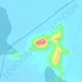
Name: Cerro Champán topographic map, elevation, terrain.

Location: Cerro Champán, Curumaní, Cesar, Colombia (9.19495 -73.63561 9.19505 -73.63551)

Average elevation: 51 m

Minimum elevation: 29 m

Maximum elevation: 259 m

Gear up for your next adventure:

🧥Insulated Jacket - Keep warm in cold outdoor conditions
🔥Emergency Fire Starter - Reliable ignition source for all weather conditions
🥾Lightweight Hiking Shoes - Comfortable shoes for day hikes
💧Hydration Pack - Hands-free hydration system for long hikes
🧢Hiking Sun Hat - Wide-brimmed protection for exposed mountain ridges

As an Amazon Associate, this site earns from qualifying purchases at no extra cost to you.