
Ranari topographic map
Interactive map
Click on the map to display elevation.
About this map
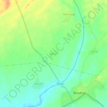
Name: Ranari topographic map, elevation, terrain.
Location: Ranari, Reodar Tehsil, Sirohi, Rajastán, 307514, India (24.61398 72.49556 24.65398 72.53556)
Average elevation: 259 m
Minimum elevation: 241 m
Maximum elevation: 284 m