Geolocate

Syongila topographic map

Click on the map to display elevation.

About this map

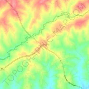
Name: Syongila topographic map, elevation, terrain.

Location: Syongila, Kitui Central, Kitui County, 90205, Kenya (-1.35553 37.96736 -1.31553 38.00736)

Average elevation: 1,169 m

Minimum elevation: 1,124 m

Maximum elevation: 1,209 m

Gear up for your next adventure:

🚲Handlebar Phone Mount - View topographic-map.com live while cycling
💧Filtered Water Bottle - Safe drinking water on the go
🧥Thermal Fleece Jacket - Versatile insulation for changing mountain temperatures
🧰Emergency Multi-Tool - Compact multi-tool for outdoor survival
🛁Quick-Dry Microfiber Towel - Space-saving towel that dries rapidly on the move

As an Amazon Associate, this site earns from qualifying purchases at no extra cost to you.