
Make a donation
Gear up for your next adventure:
As an Amazon Associate, this site earns from qualifying purchases at no extra cost to you.
Krankel topographic map
Click on the map to display elevation.
Make a donation
Gear up for your next adventure:
As an Amazon Associate, this site earns from qualifying purchases at no extra cost to you.
Krankel
Das Dorf liegt im Niederwesterwald südöstlich des Hauptortes Asbach auf einer Anhöhe oberhalb und nördlich des Dinspeler Bachs. Krankel liegt nahe der Landesstraße 272, die Asbach mit Flammersfeld verbindet. Von Krankel aus führt die Kreisstraße 68 zu dem Asbacher Ortsteil Dinspel und die Kreisstraße 69 zum Ortsteil Kalscheid.
Make a donation
Gear up for your next adventure:
As an Amazon Associate, this site earns from qualifying purchases at no extra cost to you.
About this map
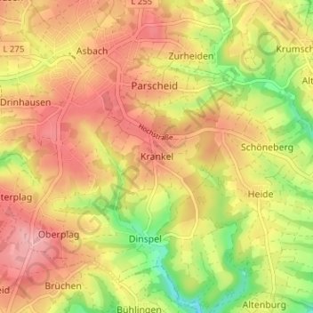
Name: Krankel topographic map, elevation, terrain.
Average elevation: 254 m
Minimum elevation: 176 m
Maximum elevation: 309 m
Make a donation
Gear up for your next adventure:
As an Amazon Associate, this site earns from qualifying purchases at no extra cost to you.