Geolocate

Nemam topographic map

Click on the map to display elevation.

About this map

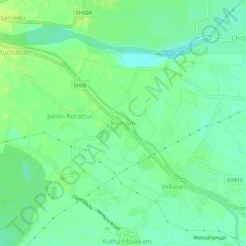
Name: Nemam topographic map, elevation, terrain.

Location: Nemam, Poonamallee, Thiruvallur, Tamil Nadu, 600124, India (13.05716 80.00757 13.09716 80.04757)

Average elevation: 30 m

Minimum elevation: 22 m

Maximum elevation: 37 m

Other topographic maps

Click on a map to view its topography, its elevation and its terrain.

Cooum

India > Tamil Nadu > Poonamallee

Average elevation: 27 m

Gear up for your next adventure:

🧴Waterproofing Spray - Restore the DWR coating on jackets and tents
🧊Portable Cooler - Keep food and drinks cold during outdoor adventures
🚑Survival Whistle - Signal for help across long distances in mountains
👟Trail Running Shoes - Agile footwear for fast-paced topographic exploration
🧦Hiking Liner Socks - Thin base layer to prevent friction and blisters

As an Amazon Associate, this site earns from qualifying purchases at no extra cost to you.