Geolocate

Marietta topographic map

Click on the map to display elevation.

About this map

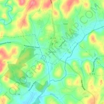
Name: Marietta topographic map, elevation, terrain.

Location: Marietta, Slater-Marietta, Greenville County, South Carolina, 29683, United States (35.00095 -82.52151 35.04095 -82.48151)

Average elevation: 317 m

Minimum elevation: 281 m

Maximum elevation: 371 m

Other topographic maps

Click on a map to view its topography, its elevation and its terrain.

Gear up for your next adventure:

🧢Hiking Hat - Sun-protective and breathable hats for long treks
🚲MTB Frame Bag - Carry tools and maps directly on your bicycle frame
🛶Kayak Accessories - Essential gear for safe and fun kayaking adventures
🧴Insect Repellent - Protect yourself from bugs during outdoor adventures
🔨Vehicle Emergency Tool - Safety tool for remote road trips to trailheads

As an Amazon Associate, this site earns from qualifying purchases at no extra cost to you.