Geolocate

Keller topographic map

Click on the map to display elevation.

About this map

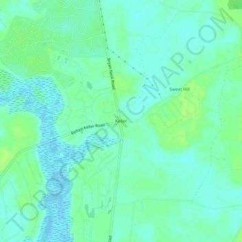
Name: Keller topographic map, elevation, terrain.

Location: Keller, Bryan County, Georgia, United States (31.82327 -81.27372 31.86327 -81.23372)

Average elevation: 5 m

Minimum elevation: -2 m

Maximum elevation: 12 m

Other topographic maps

Click on a map to view its topography, its elevation and its terrain.

Pembroke

United States > Georgia > Bryan County

Average elevation: 26 m

Pembroke

United States > Georgia > Bryan County > Pembroke

Average elevation: 26 m

Gear up for your next adventure:

🥾All-Terrain Hiking Boots - Versatile boots for varied hiking conditions
👟Leg Gaiters - Keep debris, mud, and snow out of your boots
🚲Heavy Duty Bike Lock - Secure your bike at the trailhead or during stops
Bushcraft Tarp - Versatile emergency shelter or gear protection
Lightweight Backpacking Tent - Compact tent for efficient hiking trips

As an Amazon Associate, this site earns from qualifying purchases at no extra cost to you.