
Grenier Park topographic map
Interactive map
Click on the map to display elevation.
About this map
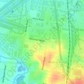
Name: Grenier Park topographic map, elevation, terrain.
Average elevation: 22 m
Minimum elevation: 4 m
Maximum elevation: 52 m
Other topographic maps
Click on a map to view its topography, its elevation and its terrain.
Brisbane
Australia > Queensland > Brisbane
Brisbane, Queensland, 4000, Australia
Average elevation: 45 m