Geolocate

Juniper Beach topographic map

Interactive map

Click on the map to display elevation.

Juniper Beach topographic map, elevation, terrain

Juniper Beach topographic map, elevation, terrain

About this map

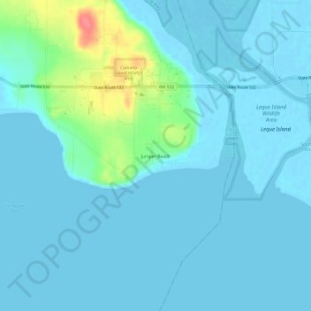
Name: Juniper Beach topographic map, elevation, terrain.

Location: Juniper Beach, Island County, Washington, United States (48.21093 -122.42710 48.25093 -122.38710)

Average elevation: 9 m

Minimum elevation: -2 m

Maximum elevation: 65 m

Other topographic maps

Click on a map to view its topography, its elevation and its terrain.

Whidbey Island

United States > Washington > Island County

Whidbey Island lies partially in the rain shadow of the Olympic Mountain Range to the west, and has a variety of climate zones. This can be observed by rainfall amounts – wettest in the south with average rainfall of 36 inches (910 mm), driest in the central district of Coupeville with average rainfall of 20…

Average elevation: 45 m