
Friesoythe topographic map
Interactive map
Click on the map to display elevation.
About this map
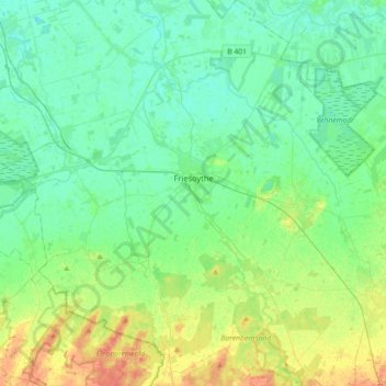
Name: Friesoythe topographic map, elevation, terrain.
Location: Friesoythe, Landkreis Cloppenburg, Niedersachsen, Deutschland (52.90434 7.70359 53.11977 7.96121)
Average elevation: 13 m
Minimum elevation: 1 m
Maximum elevation: 45 m