Geolocate

Mount Gibraltar topographic map

Click on the map to display elevation.

Mount Gibraltar

Mount Gibraltar (Aboriginal: Bowrell) is a mountain with an elevation of 863 metres (2,831 ft) AHD  that is located in the Southern Highlands region, between Bowral and Mittagong, in New South Wales, Australia. Further west is Berrima.

Wikipedia (CC-BY-SA 3.0)

About this map

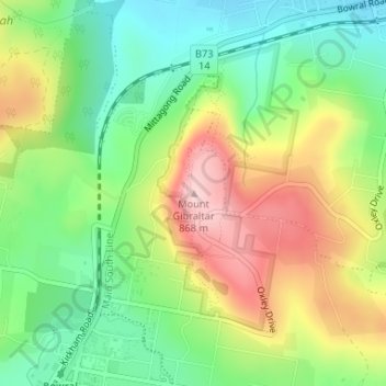
Name: Mount Gibraltar topographic map, elevation, terrain.

Location: Mount Gibraltar, Bowral, Wingecarribee Shire Council, New South Wales, 2576, Australia (-34.46545 150.42798 -34.46535 150.42808)

Average elevation: 722 m

Minimum elevation: 622 m

Maximum elevation: 861 m

Gear up for your next adventure:

🧦Hiking Liner Socks - Thin base layer to prevent friction and blisters
🧥Waterproof Hiking Jacket - Protect yourself from rain and wind while hiking
🧼Travel Hand Sanitizer - Keep hands clean when water is scarce
🪜Heavy Duty Carabiners - Multi-use clips for securing gear to your backpack
🏕️Camping Hammock - Integrated protection for sleeping between trees

As an Amazon Associate, this site earns from qualifying purchases at no extra cost to you.