
Make a donation
Gear up for your next adventure:
As an Amazon Associate, this site earns from qualifying purchases at no extra cost to you.
Glenboro topographic map
Click on the map to display elevation.
Make a donation
Gear up for your next adventure:
As an Amazon Associate, this site earns from qualifying purchases at no extra cost to you.
About this map
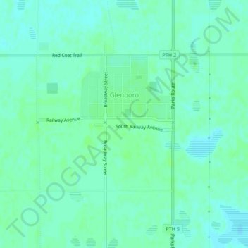
Name: Glenboro topographic map, elevation, terrain.
Location: Glenboro, Division No. 7, Manitoba, Canada (49.54714 -99.30253 49.56193 -99.27980)
Average elevation: 375 m
Minimum elevation: 371 m
Maximum elevation: 379 m
Division No. 7 trails, hiking, mountain biking, running and outdoor activities
Make a donation
Gear up for your next adventure:
As an Amazon Associate, this site earns from qualifying purchases at no extra cost to you.
Other topographic maps
Click on a map to view its topography, its elevation and its terrain.
Spruce Woods Provincial Park
Canada > Manitoba > Division No. 7 > Municipality of Glenboro – South Cypress
Average elevation: 357 m