Geolocate

Cochabamba topographic map

Click on the map to display elevation.

About this map

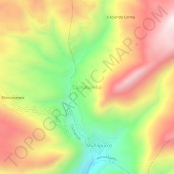
Name: Cochabamba topographic map, elevation, terrain.

Location: Cochabamba, Anco-Huallo, Chincheros, Apurímac, Perú (-13.62240 -73.70789 -13.58240 -73.66789)

Average elevation: 3,578 m

Minimum elevation: 3,102 m

Maximum elevation: 4,020 m

Gear up for your next adventure:

🪑Ultralight Camping Stool - Compact seating for rest stops during long hikes
🧥Thermal Fleece Jacket - Versatile insulation for changing mountain temperatures
🔭Compact Binoculars - Lightweight optics for scouting trails and wildlife
📷Outdoor Action Camera - Capture high-elevation views and rugged adventures
🧊Portable Cooler - Keep food and drinks cold during outdoor adventures

As an Amazon Associate, this site earns from qualifying purchases at no extra cost to you.