Geolocate

Dudhia topographic map

Click on the map to display elevation.

About this map

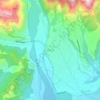
Name: Dudhia topographic map, elevation, terrain.

Location: Dudhia, Kurseong Subdivision, Darjeeling, West Bengal, India (26.79822 88.22971 26.83822 88.26971)

Average elevation: 381 m

Minimum elevation: 245 m

Maximum elevation: 795 m

Gear up for your next adventure:

👟Trail Running Shoes - Agile footwear for fast-paced topographic exploration
🏃Hydration Running Vest - Carry water and maps close to your body for speed
❄️Traction Ice Cleats - Slip-on spikes for icy trails and winter hiking
🧥Thermal Fleece Jacket - Versatile insulation for changing mountain temperatures
🧼Biodegradable Camp Soap - Environmentally friendly cleaning for gear and body

As an Amazon Associate, this site earns from qualifying purchases at no extra cost to you.