
Prince Charles topographic map
Interactive map
Click on the map to display elevation.
About this map
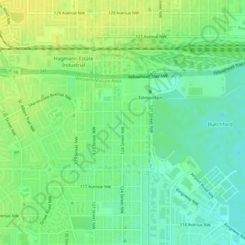
Name: Prince Charles topographic map, elevation, terrain.
Location: Prince Charles, Edmonton, Alberta, T5L 0Z9, Canada (53.57030 -113.54121 53.58069 -113.53061)
Average elevation: 672 m
Minimum elevation: 662 m
Maximum elevation: 681 m
Other topographic maps
Click on a map to view its topography, its elevation and its terrain.