
Parque Nacional del Manu topographic map
Interactive map
Click on the map to display elevation.
About this map
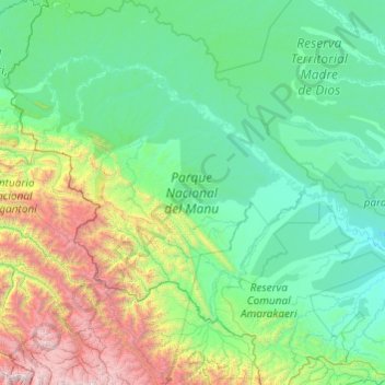
Name: Parque Nacional del Manu topographic map, elevation, terrain.
Average elevation: 1,006 m
Minimum elevation: 240 m
Maximum elevation: 5,547 m