
Lake Hills topographic map
Interactive map
Click on the map to display elevation.
About this map
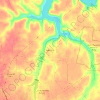
Name: Lake Hills topographic map, elevation, terrain.
Average elevation: 316 m
Minimum elevation: 268 m
Maximum elevation: 337 m
Other topographic maps
Click on a map to view its topography, its elevation and its terrain.
Bel-Aire
United States > Tennessee > Coffee County > Tullahoma > Bel-Aire
Bel-Aire, Tullahoma, Coffee County, Tennessee, 37388, United States
Average elevation: 325 m