Geolocate

Fernside topographic map

Click on the map to display elevation.

About this map

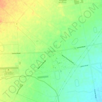
Name: Fernside topographic map, elevation, terrain.

Location: Fernside, Waimakariri District, Canterbury, New Zealand (-43.33073 172.51458 -43.29073 172.55458)

Average elevation: 51 m

Minimum elevation: 32 m

Maximum elevation: 73 m

Other topographic maps

Click on a map to view its topography, its elevation and its terrain.

Oxford

New Zealand > Canterbury > Waimakariri District

Average elevation: 241 m

Oxford

New Zealand > Canterbury > Waimakariri District

Average elevation: 241 m

Gear up for your next adventure:

🧤Rechargeable Heated Gloves - Extreme warmth for Canadian winter expeditions
🥾Trail Running Boots - Durable shoes designed for trail running
🥾Mountain Hiking Shoes - Shoes with superior grip for mountainous terrain
🧦Merino Wool Socks - Moisture-wicking comfort for long-distance hiking
🔋Solar Power Bank - Keep your GPS and devices charged during long outdoor trips

As an Amazon Associate, this site earns from qualifying purchases at no extra cost to you.