
Ohingaora topographic map
Click on the map to display elevation.
About this map
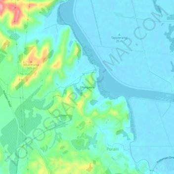
Name: Ohingaora topographic map, elevation, terrain.
Location: Ohingaora, Napier, Hawke's Bay, 4141, New Zealand (-39.50044 176.81381 -39.46044 176.85381)
Average elevation: 23 m
Minimum elevation: -2 m
Maximum elevation: 124 m