Geolocate

Wolf Mountain topographic map

Interactive map

Click on the map to display elevation.

About this map

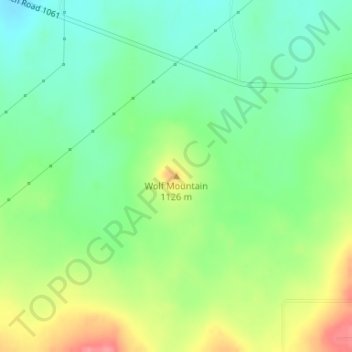
Name: Wolf Mountain topographic map, elevation, terrain.

Location: Wolf Mountain, Potter County, Texas, United States (35.25834 -102.01774 35.25844 -102.01764)

Average elevation: 1,091 m

Minimum elevation: 1,060 m

Maximum elevation: 1,141 m

Other topographic maps

Click on a map to view its topography, its elevation and its terrain.

Amarillo

United States > Texas > Potter County > Amarillo

Amarillo, Potter County, Texas, 79105, United States

Average elevation: 1,090 m

Amarillo

United States > Texas > Potter County

Amarillo, Potter County, Texas, United States

Average elevation: 1,097 m