
Ticlio topographic map
Click on the map to display elevation.
Ticlio
Ticlio o abra de Anticona es un paso montañoso de los Andes peruanos ubicado en el distrito de Chicla, en la provincia de Huarochirí, en el departamento de Lima. Por este paso atraviesa la ruta nacional PE-22, también conocida como Carretera Central, que alcanza allí —en el km 120— su punto de mayor altitud: 4818 msnm.
About this map
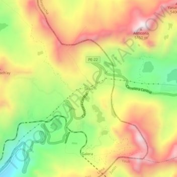
Name: Ticlio topographic map, elevation, terrain.
Location: Ticlio, Chicla, Huarochirí, Lima, Perú (-11.61855 -76.21319 -11.57855 -76.17319)
Average elevation: 4,853 m
Minimum elevation: 4,447 m
Maximum elevation: 5,239 m
Other topographic maps
Click on a map to view its topography, its elevation and its terrain.