Geolocate

Columbus topographic map

Click on the map to display elevation.

About this map
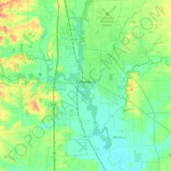
Name: Columbus topographic map, elevation, terrain.

Location: Columbus, Bartholomew County, Indiana, United States (39.12060 -86.00300 39.27485 -85.85118)

Average elevation: 197 m

Minimum elevation: 181 m

Maximum elevation: 231 m

Other topographic maps

Click on a map to view its topography, its elevation and its terrain.

Kansas

United States > Indiana > Bartholomew County

Average elevation: 212 m

Gear up for your next adventure:

🏃Hydration Running Vest - Carry water and maps close to your body for speed
🛶Kayak Accessories - Essential gear for safe and fun kayaking adventures
🩹Compact First Aid Kit - Pre-packed essentials for common trail injuries
🧥Ultralight Puffy Jacket - Maximum warmth that packs down to the size of an orange
🧥Waterproof Jacket - Lightweight rain jackets for hiking and outdoor activities

As an Amazon Associate, this site earns from qualifying purchases at no extra cost to you.