Geolocate

Rivière Langevin topographic map

Click on the map to display elevation.

Rivière Langevin

De 18,3 km de longueur, la rivière Langevin prend sa source à 2 200 m d'altitude, près du piton Chisny (2 439 m). Elle s'appelle aussi le Bras Ouvrange de Grand Sable jusqu'à 850 m d'altitude environ, près du captage de Pointe de l'Ilet et des Cascades La Fouillée, puis la Grande Ravine jusqu'à environ 600 m d'altitude.

About this map
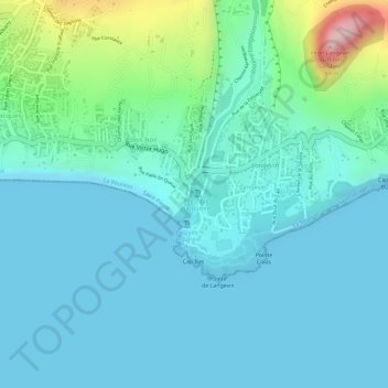
Name: Rivière Langevin topographic map, elevation, terrain.

Location: Rivière Langevin, Bois-Noir, Saint-Joseph, Saint-Pierre, La Réunion, 97480, France (-21.38368 55.64443 -21.38327 55.64487)

Average elevation: 52 m

Minimum elevation: 0 m

Maximum elevation: 284 m

Gear up for your next adventure:

🥾Mountaineering Boots - Supportive boots for climbing and high-altitude hiking
🛁Quick-Dry Microfiber Towel - Space-saving towel that dries rapidly on the move
🏕️Camping Hammock - Integrated protection for sleeping between trees
🧦Hiking Socks - Moisture-wicking and comfortable socks for long hikes
🧰Emergency Multi-Tool - Compact multi-tool for outdoor survival

As an Amazon Associate, this site earns from qualifying purchases at no extra cost to you.