Geolocate

Narsanda topographic map

Click on the map to display elevation.

About this map

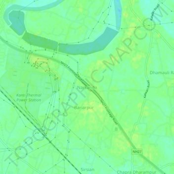
Name: Narsanda topographic map, elevation, terrain.

Location: Narsanda, Kanti, Muzaffarpur, Bihar, 843109, India (26.17314 85.29793 26.21314 85.33793)

Average elevation: 57 m

Minimum elevation: 49 m

Maximum elevation: 63 m

Gear up for your next adventure:

🧥Thermal Fleece Jacket - Versatile insulation for changing mountain temperatures
🛶Kayak Accessories - Essential gear for safe and fun kayaking adventures
🛌Insulated Sleeping Pad - Critical thermal barrier between you and the cold ground
🛏️Camping Sleeping Mat - Comfortable mats for sleeping outdoors
🧴First Aid Kit - Essential first aid supplies for outdoor emergencies

As an Amazon Associate, this site earns from qualifying purchases at no extra cost to you.