
Forosig topographic map
Interactive map
Click on the map to display elevation.
About this map
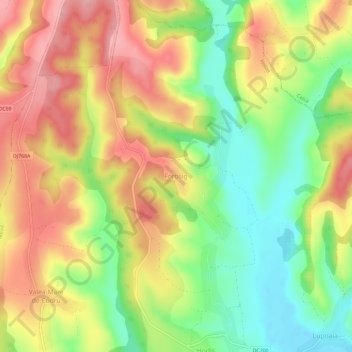
Name: Forosig topographic map, elevation, terrain.
Location: Forosig, Bihor, 417283, Rumänien (46.80146 22.08034 46.84146 22.12034)
Average elevation: 204 m
Minimum elevation: 139 m
Maximum elevation: 266 m