
Zirándaro topographic map
Interactive map
Click on the map to display elevation.
About this map
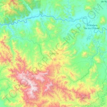
Name: Zirándaro topographic map, elevation, terrain.
Location: Zirándaro, Guerrero, Mexiko (18.11222 -101.54104 18.54473 -100.91729)
Average elevation: 822 m
Minimum elevation: 157 m
Maximum elevation: 2,687 m