Geolocate

Saticoy topographic map

Click on the map to display elevation.

About this map

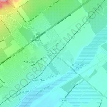
Name: Saticoy topographic map, elevation, terrain.

Location: Saticoy, Ventura County, California, 93004, United States (34.26364 -119.16907 34.30364 -119.12907)

Average elevation: 55 m

Minimum elevation: 24 m

Maximum elevation: 165 m

Gear up for your next adventure:

🧢Hiking Hat - Sun-protective and breathable hats for long treks
🕶️Polarized Sunglasses - Reduces glare from snow and water at high elevations
🧥Waterproof Hiking Jacket - Protect yourself from rain and wind while hiking
🧼Biodegradable Camp Soap - Environmentally friendly cleaning for gear and body
🦯Trekking Poles - Reduced impact on joints for steep topographic climbs

As an Amazon Associate, this site earns from qualifying purchases at no extra cost to you.