
Champagne topographic map
Interactive map
Click on the map to display elevation.
About this map
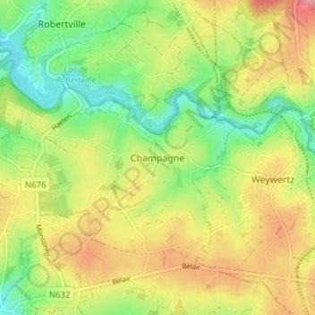
Name: Champagne topographic map, elevation, terrain.
Location: Champagne, Waimes, Verviers, Luik, Wallonië, B-4750, België (50.41802 6.12153 50.45802 6.16153)
Average elevation: 543 m
Minimum elevation: 493 m
Maximum elevation: 601 m