Geolocate

Clarion County topographic map

Interactive map

Click on the map to display elevation.

About this map

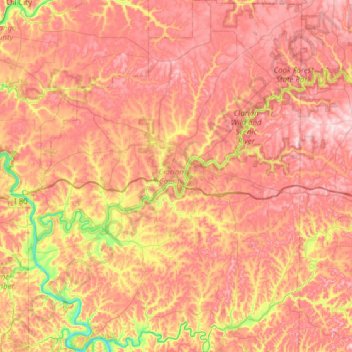
Name: Clarion County topographic map, elevation, terrain.

Location: Clarion County, Pennsylvania, United States (40.96846 -79.70045 41.43615 -79.20700)

Average elevation: 434 m

Minimum elevation: 247 m

Maximum elevation: 571 m

Other topographic maps

Click on a map to view its topography, its elevation and its terrain.

Beaver Township

United States > Pennsylvania > Clarion County

Beaver Township, Clarion County, Pennsylvania, 16232, United States

Average elevation: 412 m

Wildcat

United States > Pennsylvania > Clarion County

Wildcat, Madison Township, Clarion County, Pennsylvania, 16248, United States

Average elevation: 413 m

Phillipston

United States > Pennsylvania > Clarion County > Phillipston

Phillipston, Brady Township, Clarion County, Pennsylvania, 16028, United States

Average elevation: 352 m