Geolocate

Lower Sichey topographic map

Click on the map to display elevation.

About this map

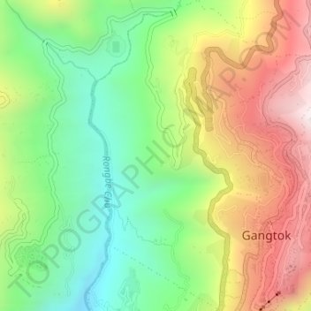
Name: Lower Sichey topographic map, elevation, terrain.

Location: Lower Sichey, Gangtok, East Sikkim District, Sikkim, India (27.32204 88.59363 27.35087 88.61253)

Average elevation: 1,352 m

Minimum elevation: 978 m

Maximum elevation: 1,846 m

Gear up for your next adventure:

🦌Outdoor Trail Camera - Monitor wildlife activity near your favorite spots
💧Hydration Bladder - Hands-free hydration solution for long treks
🔭Outdoor Binoculars - Lightweight binoculars for birdwatching and hiking
🧥Waterproof Jacket - Lightweight rain jackets for hiking and outdoor activities
🥾Light Hiking Boots - Lightweight and comfortable boots for day hikes

As an Amazon Associate, this site earns from qualifying purchases at no extra cost to you.