
Stewart Valley topographic map
Interactive map
Click on the map to display elevation.
About this map
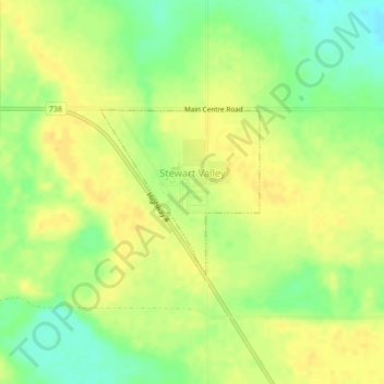
Name: Stewart Valley topographic map, elevation, terrain.
Location: Stewart Valley, Saskatchewan, S0N 2P0, Canada (50.58976 -107.81706 50.60135 -107.79939)
Average elevation: 723 m
Minimum elevation: 707 m
Maximum elevation: 731 m