Geolocate

Palmview topographic map

Click on the map to display elevation.

About this map

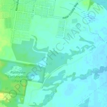
Name: Palmview topographic map, elevation, terrain.

Location: Palmview, Maroochydore, Queensland, Australia (-26.75861 153.05555 -26.73861 153.07555)

Average elevation: 10 m

Minimum elevation: 4 m

Maximum elevation: 23 m

Other topographic maps

Click on a map to view its topography, its elevation and its terrain.

Maroochy River

Australia > Queensland > Maroochydore

Average elevation: 3 m

Mountain Creek

Australia > Queensland > Maroochydore

Average elevation: 6 m

Eudlo Creek

Australia > Queensland > Maroochydore

Average elevation: 7 m

Gear up for your next adventure:

🥾Approach Shoes - Shoes designed for climbing approaches and rugged trails
🔥Emergency Fire Starter - Reliable ignition source for all weather conditions
🧴Waterproofing Spray - Restore the DWR coating on jackets and tents
🧶550 Survival Paracord - Versatile utility cord for emergency repairs and rigging
🧴Insect Repellent - Protect yourself from bugs during outdoor adventures

As an Amazon Associate, this site earns from qualifying purchases at no extra cost to you.