Geolocate

Lapra topographic map

Click on the map to display elevation.

About this map

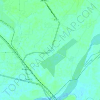
Name: Lapra topographic map, elevation, terrain.

Location: Lapra, Jagadhri, Yamunanagar, Haryana, 135101, India (30.06950 77.33074 30.10950 77.37074)

Average elevation: 271 m

Minimum elevation: 267 m

Maximum elevation: 275 m

Gear up for your next adventure:

🗺️Topographic Maps - Detailed maps to explore trails, mountains, and wilderness areas
🧭GPS Outdoor Watch - Smart watch for navigation and fitness tracking in nature
🛰️Satellite Messenger - Emergency communication for areas with no cell service
Tent Footprint - Protect tent floor and increase durability
👟Leg Gaiters - Keep debris, mud, and snow out of your boots

As an Amazon Associate, this site earns from qualifying purchases at no extra cost to you.